Real-world data for smarter parks and trails management
How We Help Parks & Recreation Organizations
Propulso transforms mobility data into clear, actionable insights that help organizations understand how their parks and trails are used. Our GeoIndicators and GeoMarketing tools support planning, funding, and the sustainable development of outdoor recreation spaces.
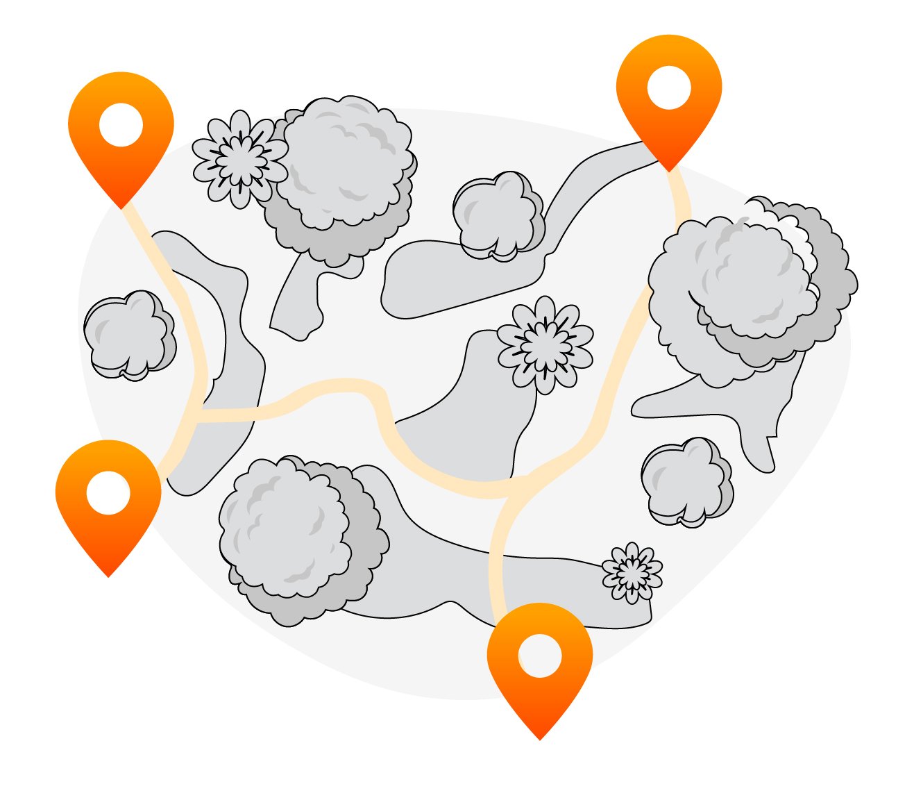
Move beyond assumptions about how your trails and parks are used. Propulso provides a continuous view of outdoor activity, revealing where visitors go, when they come, and how they experience your spaces.
With Propulso’s GeoIndicators, you can:
Track trail and park usage trends by season, weather, or time of day.
Understand visitor behavior and profiles, including origin, distance traveled, and visit frequency — always anonymized.
Identify key access points, loops, and movement corridors across your trail or park network.
Compare activity between sites or regions to highlight opportunities for investment, maintenance, or promotion.
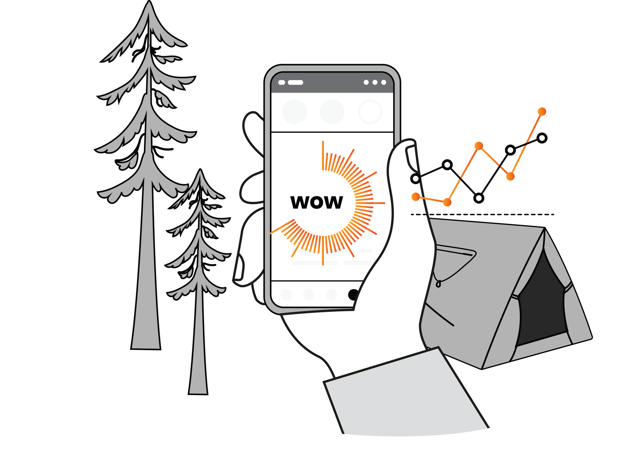
Reports are generated in minutes, giving you reliable, data-driven insights that complement manual counts and help guide planning, conservation, and funding efforts.
Our innovative partnership with Propulso is one more step in our efforts to understand the needs of trail users and ensure that the Trans Canada Trail remains a world-class destination and transportation corridor, for everyone.
Mathieu Roy, Trans Canada Trail
Leaders that trust Propulso
FAQ
How accurate is the data?
In most cases, Propulso’s data is accurate to within about three meters, offering a reliable picture of visitor movement and activity within your parks and trail systems.
Is this legal? What laws govern Propulso’s data and analytics solutions?
Yes. Propulso complies with Canadian and international privacy laws. All data used is anonymized, aggregated, and collected only from users who have given explicit consent.
Are there limits to locations I can target with GeoMarketing?
GeoMarketing lets you define any area, whether it’s a single park, an entire region, or a trail network. Each campaign has a limit of 250 locations.
If you need to target more than 250 locations, you will need to create additional campaigns.
How much does a report cost?
You can purchase a GeoIndicators report on demand at a fixed price or choose to subscribe to a license. Pricing depends on the type of report or type of license. Our packages are flexible and affordable, designed for public and non-profit organizations managing outdoor spaces.


.png?width=739&height=454&name=White%20CPC%202024%20reg%20(1).png)