How One Mid-Sized City Is Making Smarter Outdoor Investments Using Foot Traffic Insights
Reading time: 3 minutes
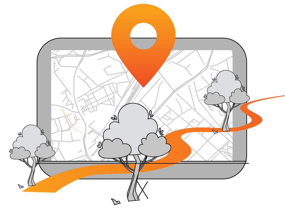
Use Case: A data-driven approach to optimizing public space planning
Every year, cities invest significant resources to maintain, improve, and expand their parks, trails, and outdoor recreational facilities. These spaces are essential for quality of life, community well-being, and public health.
But how can you be sure these investments are going where they matter most?
Are the amenities truly being used—and by whom?
One mid-sized municipality decided to tackle this challenge head-on. By combining Propulso's location intelligence platform with its existing field data, this city was able to gain a far clearer, more strategic picture of how its outdoor assets were being used across the territory.
Better insight, better decisions
In the face of increasing urban density, rising citizen expectations, and tighter budgets, the city set out to:
- Understand how its parks, trails, and recreation sites were being used year-round;
- Analyze visitor profiles and patterns of movement;
- Validate whether existing infrastructure plans were aligned with actual needs.
With Propulso, the city was able to access foot traffic trends across multiple locations, evaluate visitor origin data, and compare activity over time—something that was previously impossible to do with field teams alone.
Before Propulso: Fragmented data, limited visibility
Like many municipalities, the city relied on a mix of field observations, community consultations, and manual counts. While useful, these methods didn’t offer a full or continuous view of park usage.
The city could detect changes in traffic, but it was hard to know whether those changes were seasonal, local, or caused by outside factors.
Propulso helped fill those gaps by adding consistent, territory-wide data, including visitor origin trends. The result: a more complete picture to support deeper strategic thinking.
Key questions answered
With Propulso, the city was able to address essential planning questions, such as:
- What are the usage trends across each park or site throughout the year?
- Who is using these spaces—and where are they coming from?
- Are some parks primarily serving nearby residents, while others attract out-of-town visitors?
- How does usage vary by season, day of the week, or time of day?
- Which locations are underused—and which are growing?
- Did recent infrastructure upgrades (like skateparks or sports courts) generate a measurable impact?
What it allowed the city to do
With clearer insight into its recreational infrastructure, the city was able to:
- Validate real usage across its outdoor network and allocate resources more efficiently.
- Compare multiple locations based on visitor behavior and origin.
- Better plan new equipment or relocations, drawing on insights from comparable sites.
- Enhance public engagement strategies by aligning decisions with community feedback and real data.
- Assess the potential impact of public spaces on nearby businesses, particularly in tourist-heavy zones.
Why this matters for your city, too
Whether you're planning a new park, evaluating funding priorities, or navigating pressure to justify public spending, having reliable, repeatable location data gives your team a critical edge.
👉 Compare urban and suburban park usage;
This approach helps cities to:
👉 Measure the impact of new amenities;
👉 Strengthen proposals and reporting with credible data;
👉 Make confident, citizen-focused investment decisions;
👉 Ensure public dollars are spent where they’ll deliver the most value.
In summary
This example shows how cities can align citizen needs, field insights, and strategic goals by integrating location data into their decision-making.
👌 Want to get a clear picture of how your parks and public spaces are used—and where to invest next?
Let’s talk.


.png)